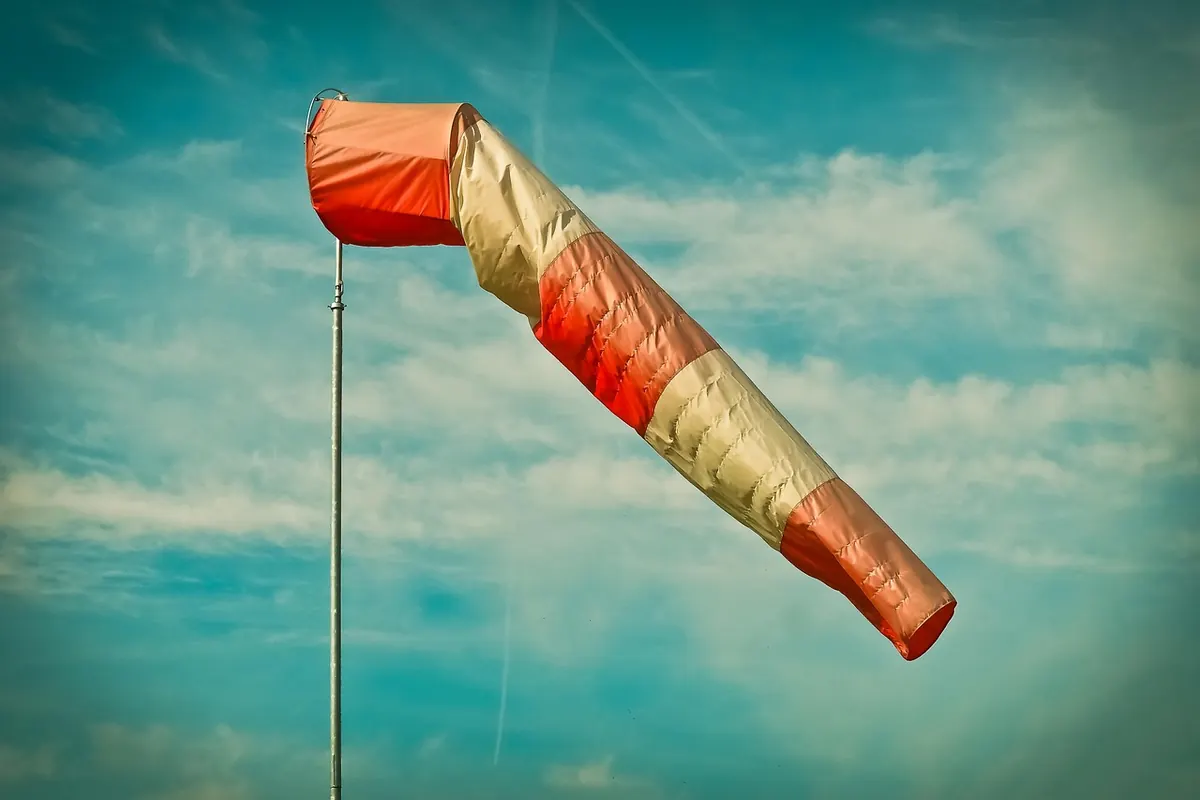
You do not need a weather station to tell you it is blowing a hoolie. A glance at the trees, the angle of a flag, whether an umbrella survives the walk to the shops — the wind tells you most of what you need to know. What it does not tell you is how strong it really is, or whether the forecast's "gale force eight" means a breezy afternoon or a day to stay indoors. That is where the Beaufort scale earns its keep.
The scale was devised by Francis Beaufort, a Royal Navy officer, in 1805. His original version was a practical tool for sailors: it described how much sail a frigate could carry in a given wind. The version used today keeps the same idea but swaps canvas for things anyone can see — smoke, leaves, branches, roof tiles.
Two details matter if you want to read it properly. First, Beaufort numbers describe the mean wind speed, averaged over about ten minutes and measured at roughly ten metres above open ground. Second, that average is not what you feel. Gusts are short bursts that can run half as strong again as the mean, or more in exposed places. A force 8 day is a windy day; the gusts inside it are what knock you sideways.
The scale runs from 0 to 12 in UK forecasts. Some meteorological services abroad extend it to 17 for typhoons, but for British weather, 12 — hurricane force — is the top of the ladder.
Speeds below are mean wind speeds in miles per hour. Treat them as a guide rather than a precise reading, because local terrain changes everything.
Force 8. That is the line. A gale means mean winds of 39 to 46 mph, with gusts well above that. Force 7 is described as a near gale, which is the forecast's polite way of saying "almost, but not quite".
Shipping forecasts and coastal warnings climb a ladder of names: gale at force 8, severe gale at 9, storm at 10, violent storm at 11, hurricane force at 12. Inland, the Met Office issues wind warnings based on the impact expected rather than the number alone, so the same wind speed might trigger a warning in a busy city and pass without comment on an exposed hillside.
One source of confusion: people use "gale" casually for any notably windy day. In a forecast it is a specific threshold, and it is worth taking at face value. If you hear "gale force eight", expect disruption to travel, ferries and outdoor plans.
If you are outdoors and want a quick estimate, look for the highest description that fits what you can actually see, rather than the first one that seems plausible.
Wind speed rises sharply with height and exposure. A city street can feel calm while the top of a nearby tower block is in a gale, and coastal headlands, hills and bridges are consistently windier than the town a few miles inland.
Wind is one of the few weather hazards you can prepare for in ten minutes, and the preparations are mostly boring and effective.
A gale is not a reason to cancel life, but it is a reason to plan around it. Check the forecast, note the gusts as well as the average, and if you are heading out on the water, walking a coastal route or working at height, get local advice before you go. The Beaufort scale is only a set of numbers until you match it to the place you are standing.
Photo: 652234 / Pixabay
Wind speeds appear as mph, km/h, knots and the Beaufort scale. Here's how to convert between them quickly and judge...

Gusts can hit without warning. Here's how walkers, cyclists and commuters should react in the first minute of a...
Wind forecasts give an average speed and a peak gust. Knowing which one to plan around — and reading the gap between...

Your guide to gales, wind, and weather.