
You check the forecast before a walk, a bike ride or a day in the garden. The wind line says something like "15 mph, gusting 40". Two numbers, one word for wind, and no explanation of which one you should actually care about.
They measure different things, and they matter in different ways. The average tells you what the day will feel like. The gust tells you what the day might do to your fence, your trampoline, your bike or your car door.
Sustained wind — sometimes called the mean or average wind speed — is exactly that: an average taken over a set period. Land-based weather stations typically average over ten minutes, while some marine and aviation reports use a shorter window. The figure you see is the smoothed-out background flow.
That smoothing is useful, but it hides a lot. A ten-minute average of 15 mph could come from a steady 15 mph, or from spells at 8 mph interrupted by short bursts of 35 mph. Both average out the same. They feel completely different.
A gust is a brief peak, usually measured over a few seconds rather than minutes. It happens when the smooth flow of air gets disturbed and a patch of faster-moving air arrives at the ground.
That disturbance has many causes. Air swirling over rooftops, squeezing between buildings, tumbling over a hill, or rising off a sun-warmed car park all create it. Gusts are also common at the coast, where air moving over the sea meets rougher land.
So a gust is not simply "a bit more wind". It is the turbulent topping on the average. On a rough day the gap can be wide.
Buildings, trees and garden furniture do not fail under the ten-minute average. They fail at the moment of the peak. A fence panel that holds happily in a steady 30 mph will lift out of its brackets under a two-second burst of 50 mph.
The same applies to people. Walking in a steady 30 mph is tiring. Being caught by a 50 mph gust on an exposed bridge or a hillside is a different problem entirely — it can push you off balance, slam a car door into your hand, or swing a bike sideways into traffic.
Gusts matter for a few practical reasons:
Compare the sustained speed with the gust and you get a sense of how turbulent the air is. Wind specialists sometimes call this ratio the gust factor, and you can use the idea without any maths.
Plan for the gust. The average is what the day feels like; the gust is what it does.
A forecast of 20 mph gusting 25 describes a steady, well-behaved day. Same 20 mph gusting 45 is a much rougher one, even though the average is identical. The second forecast is the one that should change your plans.
Open coast, large flat fields, out at sea, and during settled winter conditions with a steady onshore flow. The wind is strong but consistent, and you can dress for it.
Inland towns, valleys, anywhere downwind of hills or woodland, and on sunny afternoons when heated ground stirs the air. Coastal car parks, exposed corners of housing estates and gaps between buildings are classic gust hotspots.
Forecast thresholds are rough, and your own weight, route and equipment matter. These bands are a reasonable starting point for everyday life in the UK, but they are not official warnings — your local conditions and experience should override them.
Wind speed is only one part of the picture. Direction matters — a sheltered route with the wind behind you is a very different journey from the same route into it. So does the state of the ground and how tired you already are.
Next time you look at the wind line, do three things. First, read the gust, not just the average, and plan for the gust. Then look at the gap: a wide one means changeable, punchy
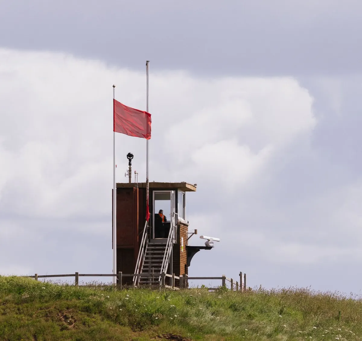
Photo: Hans / Pixabay
Wind speeds appear as mph, km/h, knots and the Beaufort scale. Here's how to convert between them quickly and judge...

Gusts can hit without warning. Here's how walkers, cyclists and commuters should react in the first minute of a...

Crosswinds rarely announce themselves. Practical guidance on reading exposed roads, holding your lane, and keeping...

Your guide to gales, wind, and weather.
