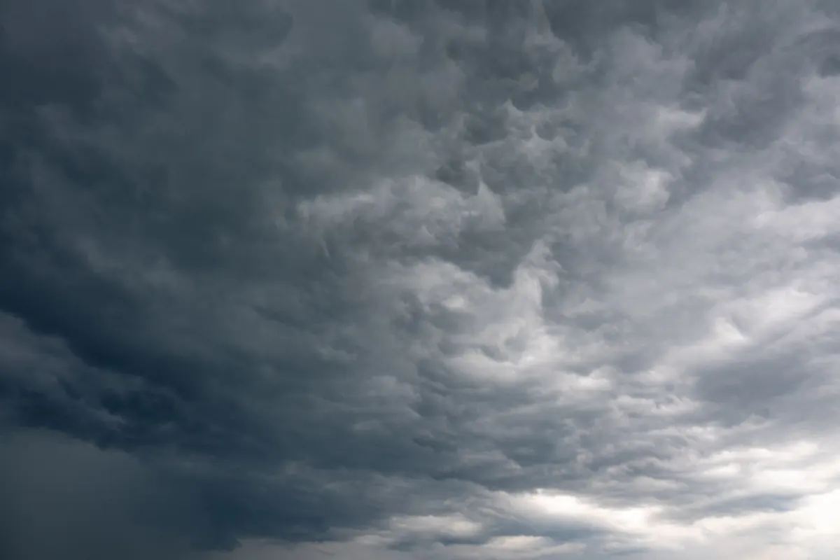
A yellow wind warning lands on your phone at half six in the morning. You glance at it, see "gusts of 50 mph", and carry on buttering toast. Another day, a red warning appears and the local council starts tweeting about bin collections being suspended. The gap between those two situations is wider than most people assume, because the Met Office colour system is not a score of how windy it will be. It is a judgement about how likely the wind is to cause damage, disruption and danger where you live. Learning to read it takes five minutes and can save you a wasted journey, a wrecked fence, or something considerably worse.
Every warning is built from two questions: how likely is severe weather, and how much impact would it cause? A gust of 55 mph over saturated ground in a built-up area with mature trees will do more damage than the same gust over open farmland in dry conditions. That is why the same wind speed can produce a yellow warning in one place and an amber in another.
Forecasters also build in timing. A spell of strong winds arriving during the morning commute causes far more trouble than the same spell overnight on a Sunday. Season, tree cover, ground conditions and how exposed a route or coastline is all feed into the decision.
Two practical points follow from that. First, a warning covers a defined area and a defined time window, so it may never apply to your postcode. Second, warnings are live documents. A yellow can be upgraded to amber, extended in time, or cancelled entirely if the forecast shifts. Check back rather than trusting a screenshot.
Yellow is the most common warning and the easiest to dismiss. It means severe weather is possible and some disruption is likely, but not everywhere and not necessarily where you are. Expect a mix of delays on roads, rail, ferries and flights, spray and standing water on exposed routes, a few branches down, and occasionally short power interruptions.
For most people, yellow is a signal to check plans rather than change them. Slow down on the drive, allow extra time, and think twice about a coastal walk or a hill route where you would be fully exposed. If you have an outdoor event, a marquee or a stall, check your tie-downs.
Amber means forecasters have more confidence that impacts will happen, and that they will be more widespread. This is the level where you should actively adjust your day. Expect road and bridge closures, fallen trees, cancelled ferries and flights, damage to roofs and tiles, and power cuts that last longer than a flicker.
Amber is the point to bring in garden furniture and trampolines, move the car away from trees and old walls if you can, charge phones and power banks, and check on neighbours who live alone or depend on electrical medical equipment. If your journey is long, non-essential and involves an exposed bridge or a coastal road, moving it is usually the sensible call.
Red warnings are rare and short-lived, and they mean exactly what they say. The Met Office issues them when it expects a danger to life from flying debris, widespread structural damage, and severe disruption to transport, power and communications. In a red warning, do not travel unless you genuinely have to. Stay indoors, keep away from windows, and follow instructions from the emergency services and your local authority. If you are already out, get to a safe building and stay there.
It is worth saying plainly: serious incidents also happen under yellow warnings. People die in falling trees and on coastal paths on days when the warning was only yellow. The colour tells you about likelihood, not about your personal risk.
The Met Office names storms jointly with Met Éireann and KNMI when they are likely to cause widespread amber or red impacts. A named storm is not automatically severe where you are, but it is a prompt to pay attention.
Use a simple rule. Yellow: keep the plan, but slow down and check it is still sensible. Amber: change what you can, particularly long journeys, ferry crossings, outdoor work and anything involving ladders or heights. Red: stay put and wait it out.
If you are responsible for others — children, older relatives, pets, livestock, staff or an event — start planning one level earlier than you would for yourself. And if your plans depend on coastal or river locations, remember that a wind warning often arrives alongside rain warnings or high tide alerts, and the combination is what causes the real trouble. Check the forecast the evening before and again on the morning, and let the warning guide the decision rather than make it for you.
Photo: Vladimir Srajber / Pexels
Wind speeds appear as mph, km/h, knots and the Beaufort scale. Here's how to convert between them quickly and judge...

Gusts can hit without warning. Here's how walkers, cyclists and commuters should react in the first minute of a...
Wind forecasts give an average speed and a peak gust. Knowing which one to plan around — and reading the gap between...

Your guide to gales, wind, and weather.